When we think of the pioneer white settlers of Washington Territory, we are referring to those who came before statehood in 1889. We assume that these adventurers were young single men out to make their fortune or young families seeking land claims and the opportunity to grow with the Territory.

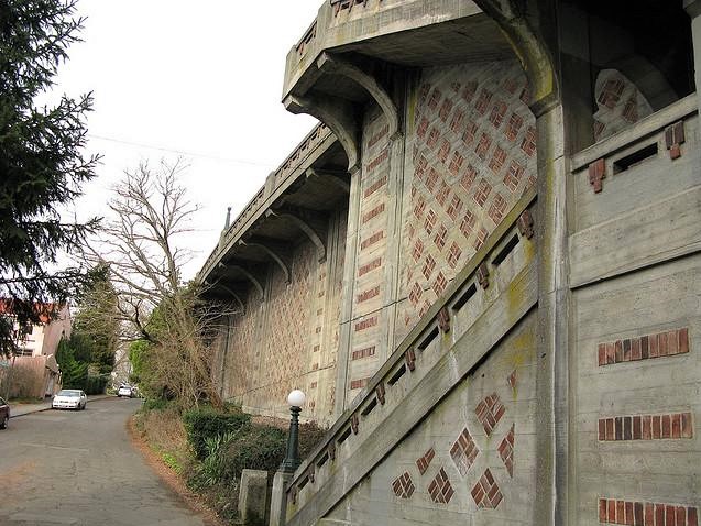
Van Doren’s Landing at a bend in the Green River at Kent, Washington.
There are some notable exceptions to the typical “young pioneers” storyline. Some men and women age 50+ were bold and energetic enough to start new lives on the frontier of the Pacific Northwest. One of these exceptional older adventurers was Cornelius Marshall Van Doren who was 56 years old when he arrived in the Territory in 1871, along with his wife Delia, age 54.
The Van Dorens traveled with two adult children, son G.M. and his wife Amanda, and the Van Doren’s daughter Louisa and Louisa’s husband George W. Ward, age 33. The three couples left what appeared to be prosperous and settled lives in Illinois, and they traded this in for the adventure of new lands and unknown challenges.
This blog article will outline the activities of C.M. Van Doren when he became an active community member in Kent, Washington, about sixteen miles southeast of Seattle. At the end of this article we will briefly note his land claims which included part of what is now the Lake City neighborhood in northeast Seattle. We don’t know why Van Doren bought this northeast Seattle property in 1871; perhaps he simply held it as an investment like a savings account, which he hoped would grow in value.
The origins of Lake City in Seattle go back to this 1871 land claim of Van Doren’s, but it would be many more years before a community grew up in remote northeast Seattle.