

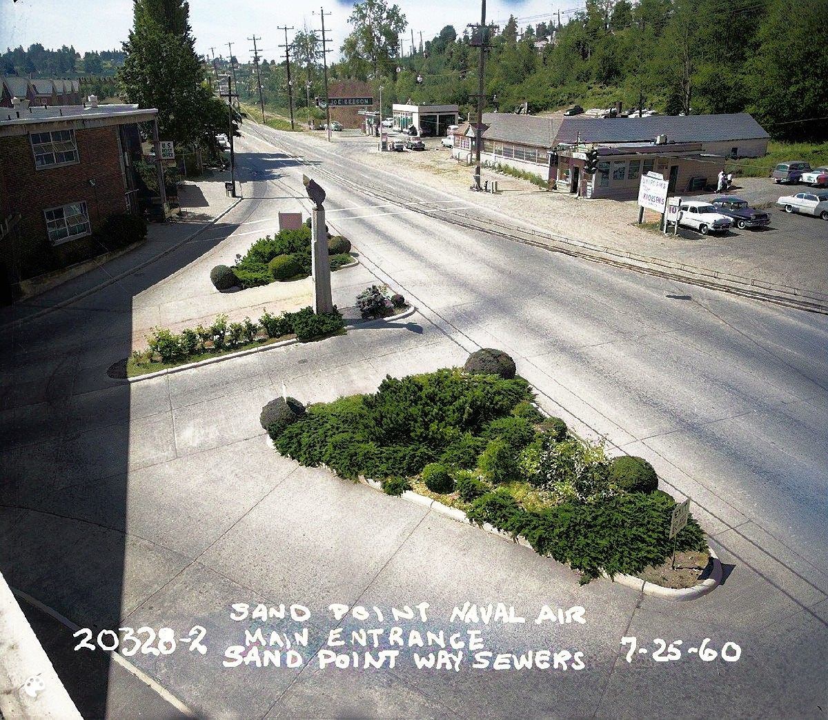
Looking southward on Sand Point Way NE, we see the entrance to the Naval Air Station at left, and Dooley’s at right. At the top of the photo there is now a 7-Eleven with a gas station. This photo of 1960, Seattle Municipal Archives.
Along the Road: From Pontiac to Sand Point Way NE
Looking southward on Sand Point Way NE, we see the entrance to the Naval Air Station at left, and Dooley’s at right. At the top of the photo there is now a 7-Eleven with a gas station. This photo of 1960, Seattle Municipal Archives.
