

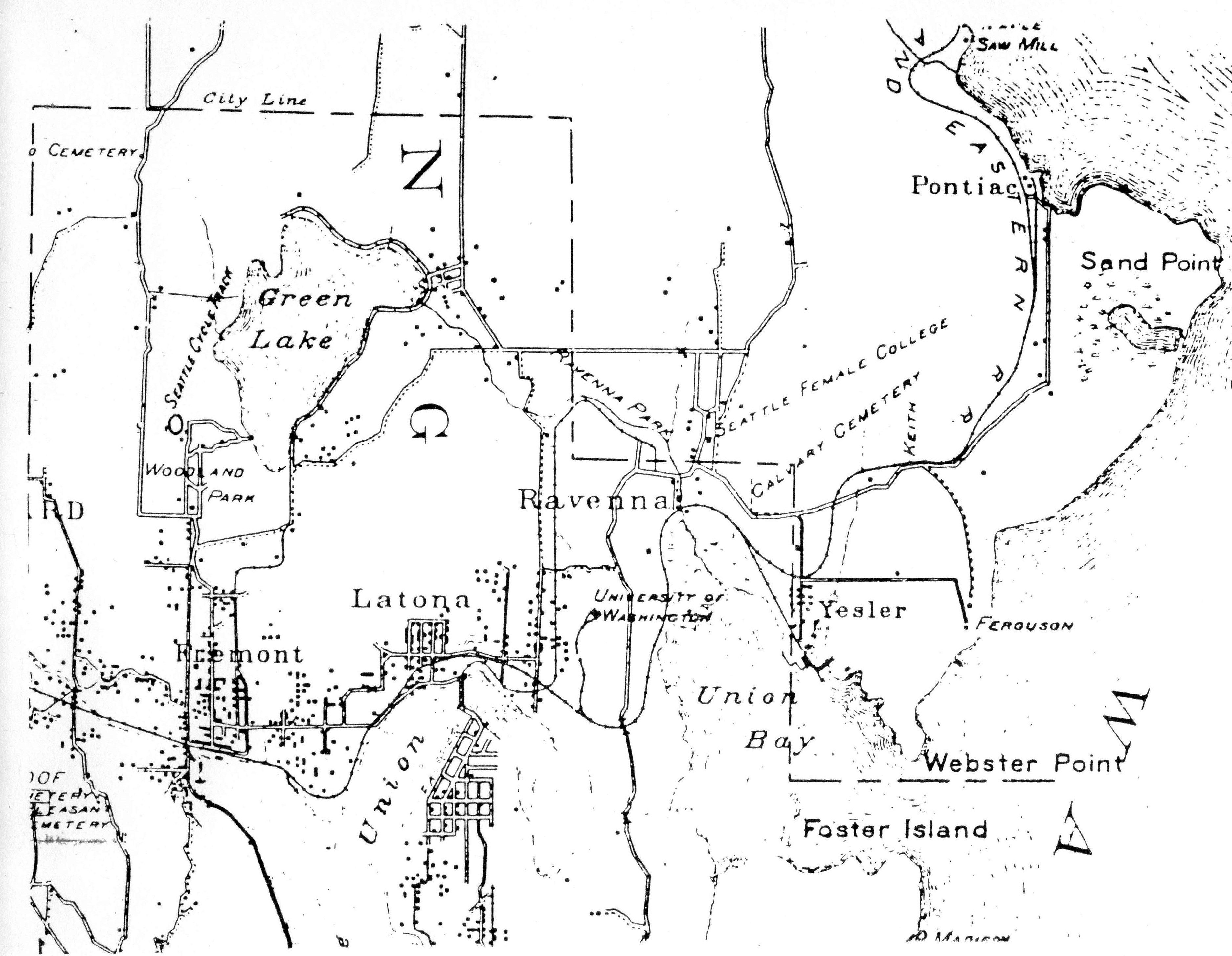
McKee’s Correct Road Map of Seattle and Vicinity, 1894, shows the railroad line. Courtesy of the Seattle Room, Seattle Public Library. The snaking line of the SLS&E Railroad is shown through the communities of Fremont, Latona (Wallingford), Ravenna, Yesler (Laurelhurst) and north past Sand Point. Block dots indicate population clusters. Calvary Cemetery, established 1889, is a point of reference at the corner of NE 55th Street and 35th Ave NE. The Keith Station is marked at NE 55th Street and 40th Ave NE on the railroad line.