Wedgwood in Seattle History
Valarie's blog, exploring stories of Seattle neighborhoods.
Skip to content
Home
About
←
Wedgwood’s NE 85th Street Dividing Line
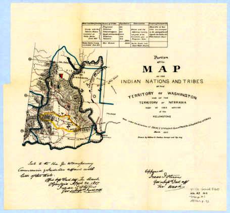
Portion of the map of the Indian nations and tribes 1857 by William H Carlton
By
Wedgwood in Seattle History
|
Published
March 14, 2015
|
Full size is
455 × 422
pixels
Seattle City Council Districts as of 2015
Rite Aid and QFC January 2015
Bookmark the
permalink
.
Leave a Reply
Comment
Name
Email
Website
Δ